Article taken from the Farmers Guide, written by Dominic Kilburn
Advisory and distribution business Agrovista has launched Axis – a new online grower ‘hub’ information exchange system as part of its extensive Plantsystems precision farming brand. Axis will bring the increasing amount of sophisticated decision support systems operated by growers and advisers together under one cloud-based agronomy tool, says the business.
According to the company’s head of precision services, Lewis McKerrow, growers are presented with an increasing amount of information and input choice or amounts, for example, and he suggests that data handling will become even more important in the future and farm advisers and staff will need to be more confident in handling that data. “One of the biggest complaints of farmers is that the data they produce is fragmented and so the aim of Axis is to consolidate it in one place which will save them a lot of time. In addition, we want to create a better data link between the grower, the adviser and the operator or the contractor,” explained Lewis.
“Axis is an ‘office in the field’ which farmers can access and add to their information via multiple platforms, including smartphones, satellite mapping equipment and their PCs,” he added.
Options
There will be three Axis package options:
Axis info – Free to register for and including recommendations from Muddy Boots; three-day weather forecasts; variety information; product labels and data sheets; basic mapping package; weekly fertiliser market update; Agrogate diary of compliance dates (i.e. SFP, NVZ, renewable, etc).
Field Pro – Adds Muddy Boots’ Greenlight Grower Management (GLGM) online field recording package and GLGM iPad app; seven-day detailed Plantsystems weather sections, including spray window wind chart, technical agronomic updates, up-to-date trials data.
MapIT Pro – Adds a fully functional Google-based prevision farming mapping package, including yield map upload, sensor mapping, soil mapping, zone maps and variable rate plan creation. Complemented by the MapIT Pro iPhone/iPad app to use out in the field.
“Axis will also target a common frustration among farmers – the paperwork and record keeping associated with compliance,” he continued. “While we have been well aware of the efficiency benefits of using precision farming, we have missed the crucial element of integrating their use with the all-important recording, and reminding, of key dates and times for field tasks. This management element is lacking in many of the simple systems farmers are using.
“Within the next few years we will find that live data connections between tractor and office will be commonplace. Farmers will be able to send prescription plans like spray recommendations in real-time to both the operator and the machinery, and will receive the completed data back all as one complete streamlined package.
“This type of full farm operation integration is very much the focus of the Axis vision,” he said.
On trial
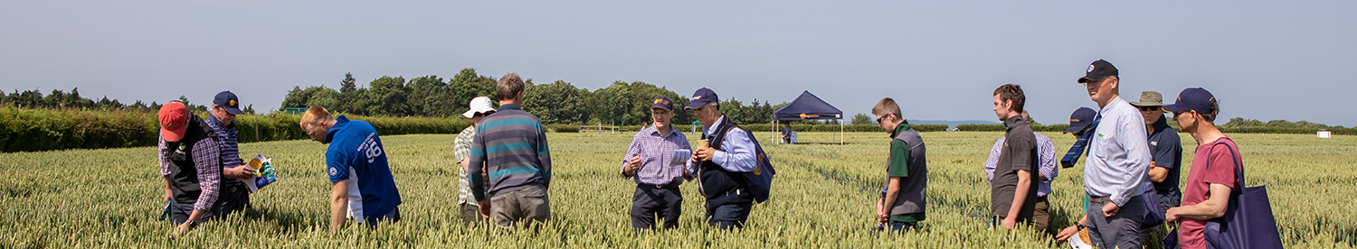
Jonathan Lloyd is arable manager at the 1,800ha (4,500 acre) Thelveton Farms, near Diss in Norfolk. He was one of the several growers selected by Agrovista to trial Axis prior to its official launch and, to data, has had a few weeks’ experience of the new system.
He already operated the Muddy Boots Cropwalker program for seed and fertiliser inputs and gross margin analysis, among other things, and he suggested that the cloud-based Greenlight Grower Management (GLGM) bolt-on has been the most obvious benefit so far. “When it comes to spray records we’ve found that for the sprayer operator to input all the relevant data such as product applied, location, crop and the wind speed etc via an iPad, as soon as he’s finished the job, saves me being handed a sheet of paper and having to manually duplicate it all, or not being handed a sheep of paper in the first place, he said.
“The system updates itself continually so even if there’s no online access out in the field, as soon as the operator gets back to the year or wherever there’s a connection then it’s updated. That’s a big benefit to the agronomist, the sprayer operator and to me,” he pointed out.
Jonathan said that he was also impressed with the MapIT Pro feature. “In the past if we wanted to spray off patches of thistles in sugar beet, for example, we used to do our best for our sprayer operator Gary by giving him a rough idea of where they were in a field. Now, when crop walking, the patches are simply marked on a map displayed on an iPad or iPhone, and this will take Gary to the exact spot to deliver the treatment.
“In addition, when Gary was out applying fungicides to wheat recently he noticed a patch of brome which he pinpointed on the map and drew our attention to later. He was then able to go back to spray it with some Pacifica (mesosulfuron + iodosulfuron).”
Jonathan pointed out that MapIT Pro had also proved useful as a tool to instruct contractors as to which fields to work on and even which gateways to use. “I can give them directions across the whole farm which saves me a lot of time and hassle,” he said.
He added that Axis also holds all the hazard data on the chemicals the farm uses – a must from a Health & Safety point of view.
“There is an increasing amount of precision farming kit working together and communicating better with each other; the new combine will produce a yield map which we can layer on top of N-Sensor data to produce drilling maps or P&K applications for example. There are no big jumps in terms of crop yields but we are starting to see our raw data being fed into Axis and really making use of it.”
Axis is available for subscriptions from late summer although ‘Axis Info’ is free on registration.
ForOurGrowers
Events
Literature
Insight
Vegetable
Amenity
AgX
AgX Balne
AgX Draughton
AgX Framlingham
AgX Kelso
Lamport AgX
Maximising September-grown wheat
Maximising wheat in the rotation
Does direct drilling affect herbicide choice?
Low-pressure tyres on test
Avoid unnecessary soil loosening
Integrating SFI into farming systems
Promising alternatives to bagged fertiliser
Soil health improvements gather pace at Lamport