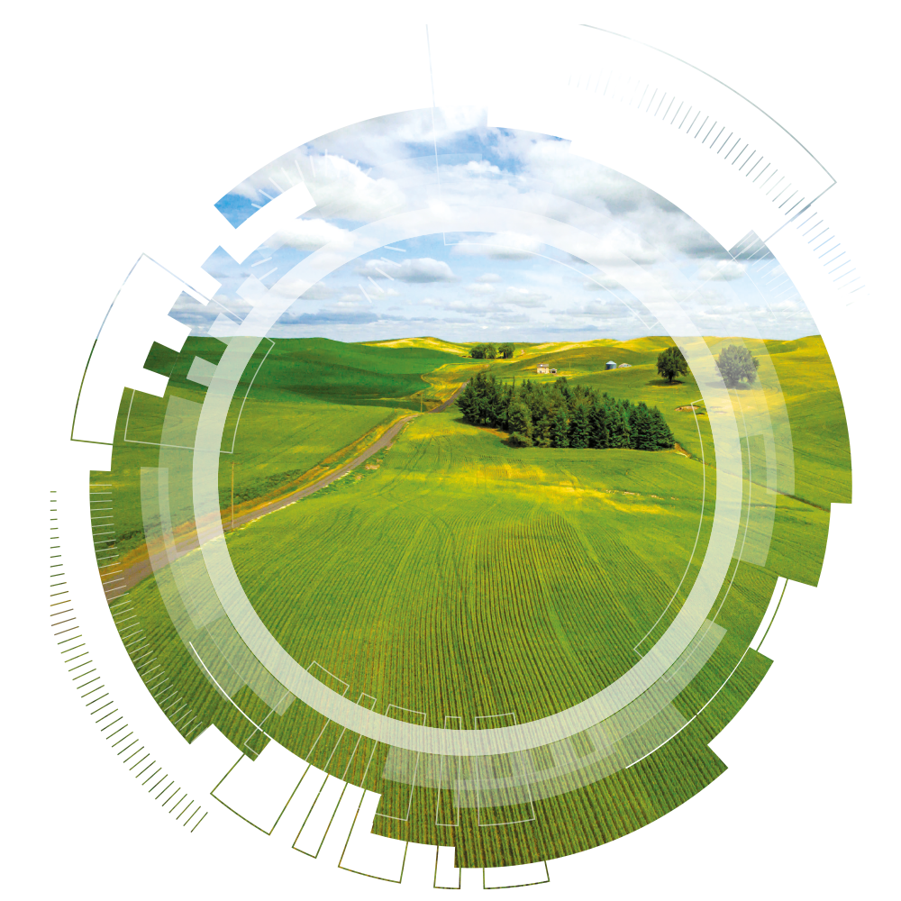
Agrovista’s comprehensive precision farming services aim to help you make the right decisions for you and your farm.
By integrating precision farming into everyday business, you can benefit from the added value this technology offers.
We keep things simple, helping you make informed precision farming decisions with clear data backed up by expert agronomist knowledge.
Although technology is sophisticated, this doesn’t need to be an overly complex or expensive addition to your farming practices.
Most importantly, it’s about working together to ensure you achieve the best margin possible for each field.
Navigate through our precision farming options to find out more, or speak to your local agronomist or precision specialist.
![]()
Benefits
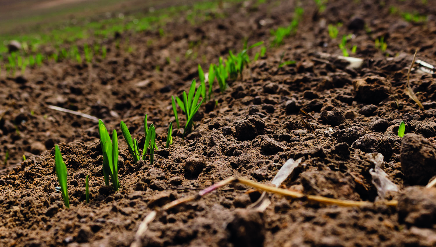
As technology develops, ways of accessing the reams of data generated improves too. Precision farming does not have to be expensive or hard work. Our aim is to ensure you are well informed and able to receive the full benefits from your choice of services, regardless of how deeply you wish to delve.
Agrovista’s Precision department works extremely hard to make sure you have the tools available to progress your business and ultimately reduce costs, whilst maintaining or improving yield in the field.
The biggest hurdle for most growers is getting started. Asking yourself what you want from precision farming can help establish where to begin. To keep things as simple as possible this chart gives a simple overview of the key elements to consider.
Precision services
Starting the journey in the right place for you.
Yield map cleansing
 Yield map cleansing can provide a critical check to compare and contrast operations undertaken during the season, highlighting those approaches that have worked and pinpointing others that need further refinement.
Identifying this variation is key to understanding what is happening in the field. Yield map cleansing enables us to remove header lifts and combine turns and also take into account part swaths.
GPS soil sampling for nutrients
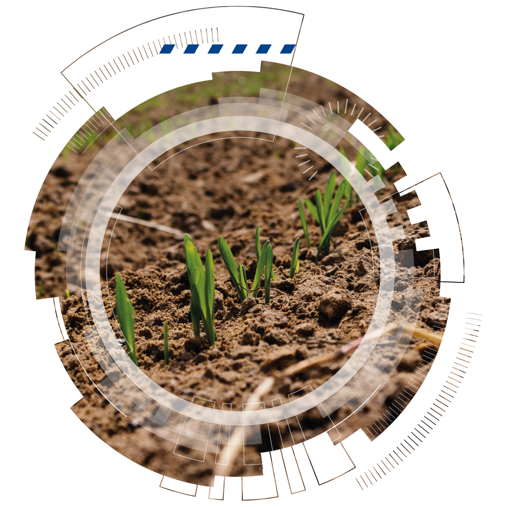 There are two methods of precision soil sampling - grid mapping (randomly selected points, normally 1 per hectare), zone mapping (samples taken from specific field variation zones).
Grid mapping is where precision farming started in the UK. It is a basic yet very important part of precision farming.
Grid mapping is designed to bring and maintain your nutrient levels to a given index, utilising variable rate technology on your spreader.
Zone mapping
 Zone mapping utilises either soil variation or field variation maps.
Predetermined soil sampling points are set within soil type or productivity zones.
Basing soil sampling on variation maps is not only a more effective use of the variation maps but also adds greater accuracy to your nutrition variation.
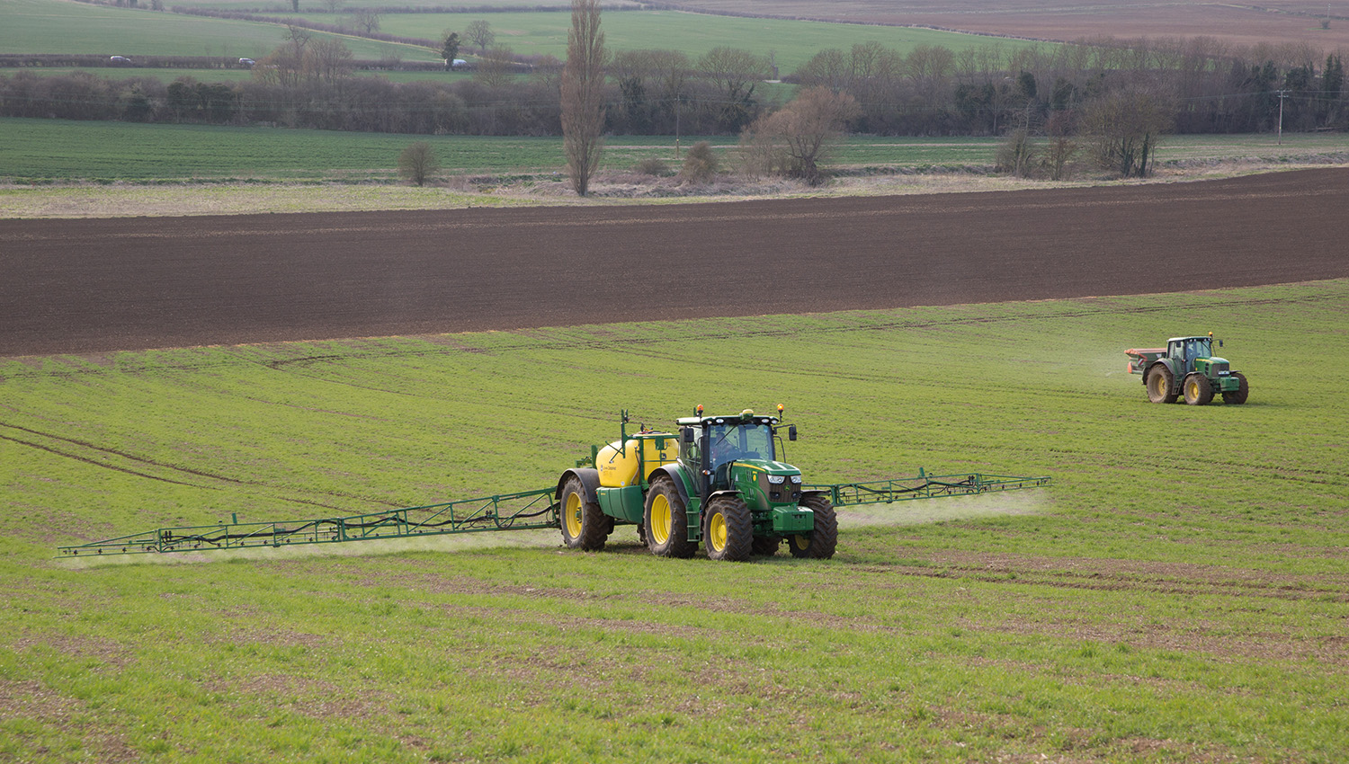
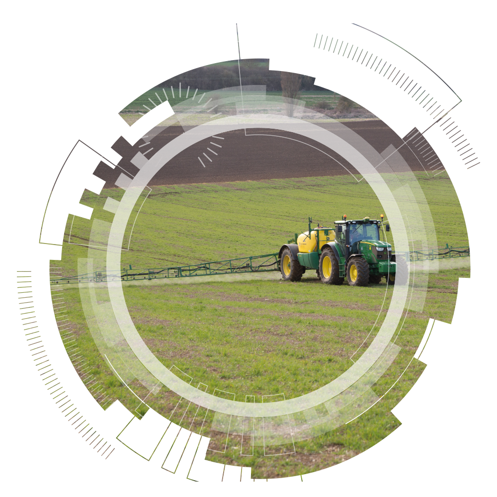
Satellite imagery and VR nitrogen
Variable rate nitrogen is a simple process. You enter the average rate you wish to apply to the field and enter the percentage variation from that figure you would like to use.
Our partner provides figures on the variability of your crop.
Variable rate nitrogen application is not necessarily to save money, but more to refine fertiliser application according to crop need, in order to achieve optimal increase in yields.
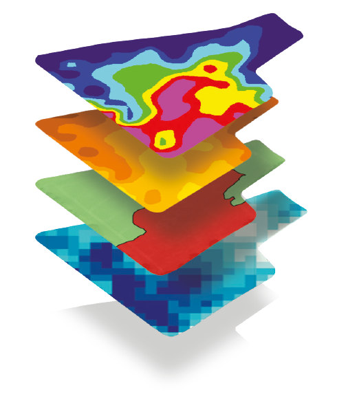
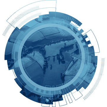
Field variation mapping
 Field variation mapping is a new way of finding in-field variation, using multiple layers from two different satellites, which offers some very useful information at a competitive cost.
Field variation mapping looks at soil moisture index, soil properties, NDVI of a crop’s performance and canopy cover to create one field variation map.
Gone are the days of comparing maps side by side, thanks to our map stacking ability.
The main advantage of using satellite data above an infield sensor is that we can get the data regardless of weather or crop. We can look back over nine years to get the data you need for your field.
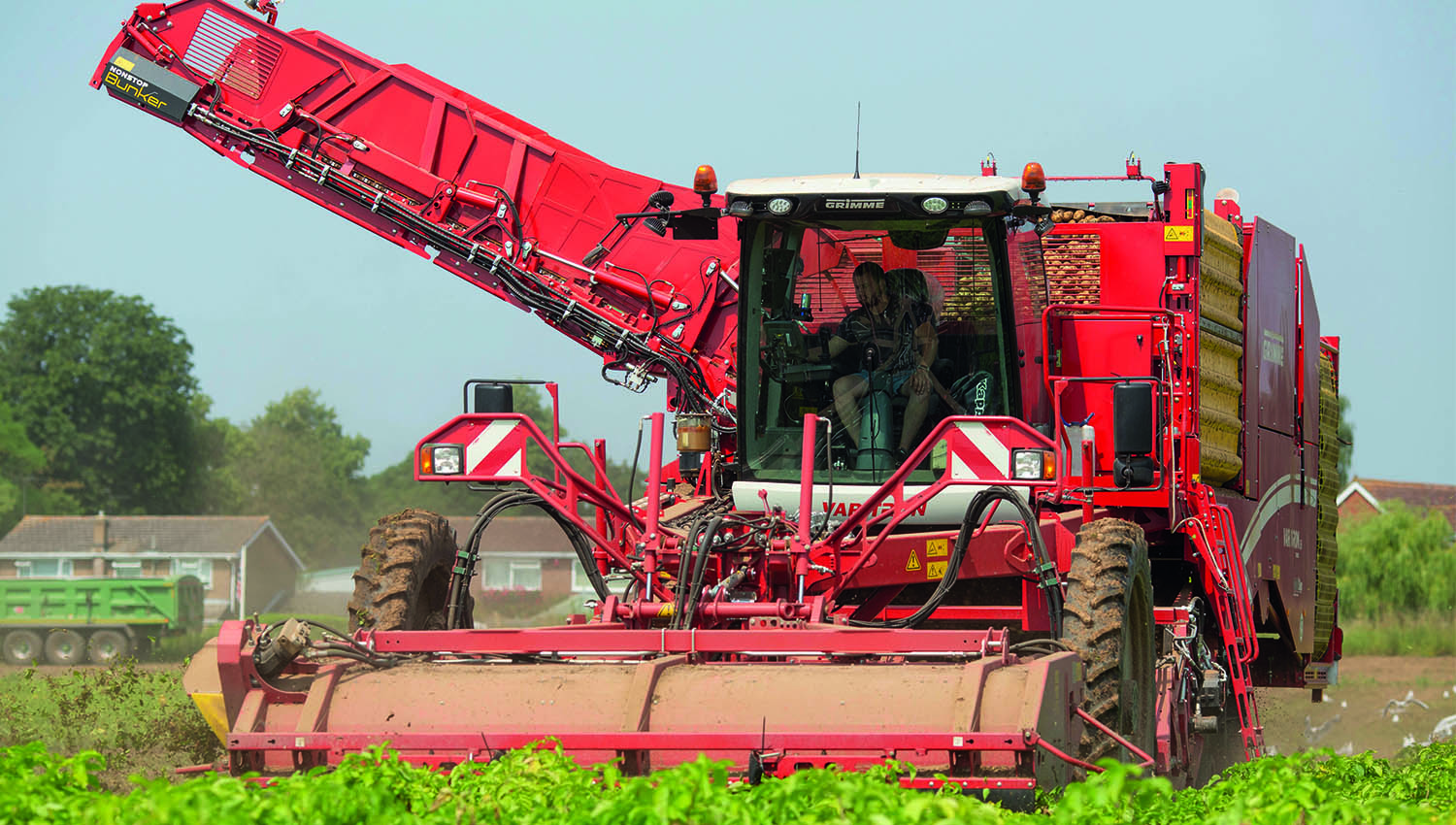
PCN sampling
 Potato cyst nematode is one of the most damaging pests of potato crops. Correct sampling is vital to successfully assess the population spread and reduce the risk of damage.
PCN sampling is carried out on a 1 hectare grid map, analysing 200g samples. This is the optimum technique, in line with AHDB guidance. Any other approach is not deemed sufficiently accurate.