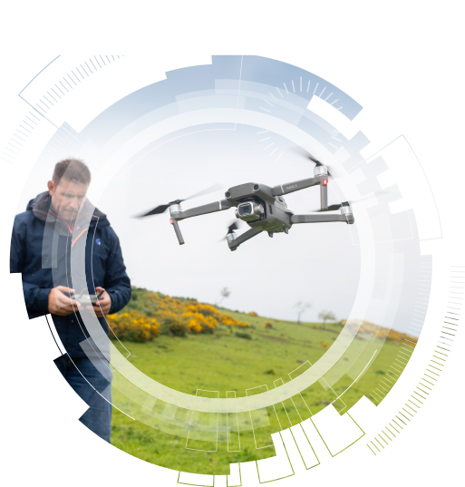
Agrovista is the lead agronomy company when it comes to drones. We utilise drone technology to help us map problematic fields/areas and also to collect data on higher value crops.
Our team carries out data analytics on different treatments or variety types to display how these changes in management practice have affected your crop.
There are so many uses for drone imaging now. The more data you measure the more you can manage.
Service use
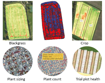
Plant health – determine crop variation, identify zones, use variable rate applications from biomass, map blackgrass, apply variable rate glyphosate, crop establishment
Plant count – establishment, crop variation, count comparison, seed viability
Plant size – yield prediction, crop variation, optimise harvesting, ability to forward sell crop more accurately
Data Analytics – compare treatments
Farm aerial imagery
Weed mapping
Blossom and vigour mapping in orchards
Benefits
Know your harvestable yield
Understand what effect a given treatment has had to your crop
Save money with variable rate applications
What is involved
Provide your Agrovista specialist with the field locations
Decide what service you would like. This may change the type of drone or flight settings that we need
Ensure your precision specialist is aware of when the flight is best to be carried out. We can help you with this decision.