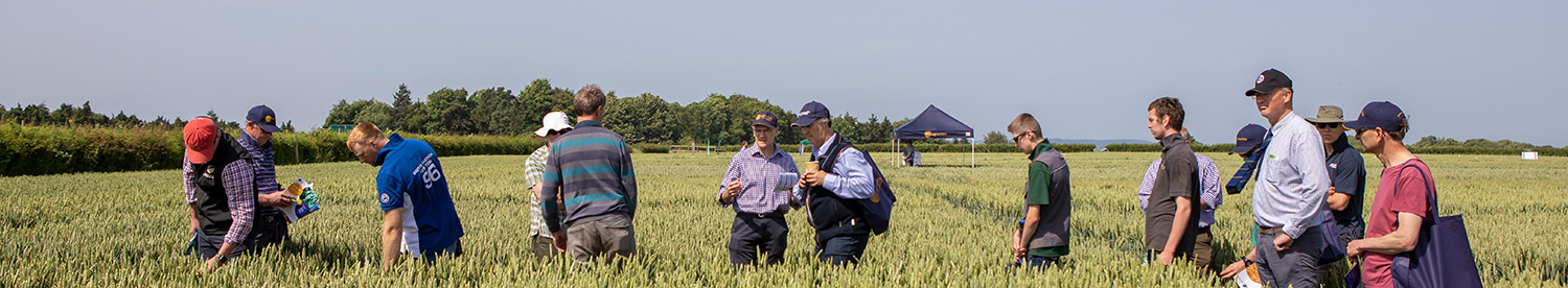
Article taken from CPM Magazine
A new pay-as-you-go variable nitrogen-assessment system has been launched by Plantsystems, the technology arm of Agrovista, the first unmanned aerial vehicle (UAV) service offered by the company. Lewis McKerrow of Agrovista says the service is suited for those who can’t justify the investment for a tractor mounted crop sensor, such as the N-Sensor, or who have been disappointed with the reliability of satellite imagery. “The farmer books in the fields he wants assessed with Plantsystems and one of the company’s Civil Aviation Authority-qualified operators will visit the farm to capture the data,” he says. The data will usually be processed overnight and will be available the following day.
Plantsystems can then deliver it back to the farmer in a number of ways, he explains. “Those with the correct software can receive a shape file of the data, which requires the grower to attribute a spreading rate to each zone. For those without the software, we can upload the data to our web-based Axis MapIT Pro platform, ready for the rates to be added to the spreading zones.” Some farmers may prefer the spreading files to be sent ready to load into the spreading equipment. “We can do this once the farmer or agronomist tells us how much nitrogen the thickest and thinnest parts of the crop should get, or the average rate and percentage variation,” says Lewis McKerrow. “Our philosophy is that the nitrogen rates should be decided by the appropriate person,” he adds. “We’ve seen some systems that provide the farmer with a suggested rate of nitrogen, but we believe there are too many unknowns that could lead to inaccurate recommendations, such as residual fertiliser in the soil, NVZ limits and end markets. The human input is still an important part of the equation.” To capture the data, a single visit at about GS31 appears to be the optimum, he says. “That’s looking like the best timing to provide enough information on which to base the main nitrogen dose and the final dose.”
Growers who sign up to the service can expect returns similar to other variable nitrogen systems.
“Typical yield increases are 3-4% without using any more fertiliser,” says Lewis McKerrow. “On an average winter wheat crop at current values, that’s a £30-40/ha increase in profit.” The cost of the service will depend on the area to be surveyed and starts at just below £10/ha, with bigger jobs attracting a discount.
“The biggest cost is getting the person to the site and setting up. The more hectares we can fly, the more cost effective it is to the farmer”
Specialist area
It’s when you move up into this level of sophistication that the costs begin to mount, and it becomes a more specialist area. “The multi-spectral camera we use for NDVI retails at around £4000. Then the software package we use costs around £5500,” he adds. There’s also a bigger UAV –– the SteadiDrone –– that can
take a higher payload, such as an SLR camera that can zoom in on hard-to-reach places. “We can use it to take pictures of hairline cracks in wind turbine blades, for example,” says Brian Critchley. Finally, there’s the fixed-wing UAV, a more specialised piece of kit that can cost up to £15,000, although Geo-4D’s version is a cheaper model, at around £3000, notes technical