Article taken from Farm Contractor & Large Scale Farmer, July 2017.
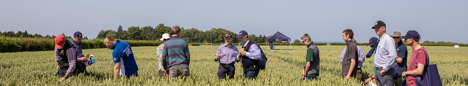
Agrovista offers a complete precision farming solution from its Plantsystems programme. This gives farmers access to a whole range of precision farming advice, supported by a range of hardware and software tools to make full use of new and existing equipment in order to maximise margins. In conjunction with the Wakefield family of Manor Farm near Ramsey in Cambridgeshire Agrovista has undertaken a large scale trial to demonstrate and evaluate the latest technology that the company now offers to its farmer trials.
The trial compares current farm practice with new techniques that employ a range of precision technologies and looks at how these developments influence agronomy and associated farm management. In addition, the trial looks at the costs and likely financial benefits of employing such a system on a well-run farm.
Agrovista head of precision technology, Lewis McKerrow said: ""Five years ago a lot of the services we are now offering didn't exist and so we have gone through a massive R&D programme in the last few years. The trial work we are carrying out is designed to benefit the growers in the coming years and provide them with the ability to make clear decisions based on the information that the technology has supplied them with.
As the trials go on we will be looking to expand them across the country and hope to meet the challenges that the different parts of the country will present us with.
Here at Manor Farm it is a long term case study. It's not just a case of producing one set of maps for one year, it's a matter of trying to work out for ourselves how we can refine it going forward.
""The bottom line is that we need to know how, after producing all these maps and data, we can interpret them to produce better returns for the growers. The one question they always ask us is: ""What is it going to do for my margin?"" The trials basically examine standard farm practice next to the latest technologies. So, the trials are about looking at how we can interpret the data to help the growers improve their returns.
""There are two strategies we can use with this data to improve returns. The first one is to use the soil maps to gain maximum yield by really pushing the better areas of individual field to work at their maximum. Conversely perhaps, we can use the data to cut back on inputs on poorer areas of the fields because we now know that there are other parameters that are stopping increased yields, rather than increased nitrogen use for example. So in effect we can maintain performance with reduced inputs.""
""Unlike traditional products, where the manufacturer does most of the research and development, precision technology relies a lot on the distributor to do this work. It's up to us, as distributors, to work out how to use all this technology on the farm. There is no return on investment unless you have a strategy to use it.
All this technology does is give us a series of pretty maps and its up to us to work out how to use the data to the grower's advantage. The question we are looking to answer is: how do we use this data to improve the farms performance?""
At the start of the trial, soil zoning was carried out last summer using a Veris MSP3 sensor. This measures electro-conductivity to measure soil type, pH, and organic matter, as well as topographical information such as elevation, slope and curve. The soil information was then collated to produce environmental information maps, including risk of N and nutrient loss and a water retention map.
""The map shows how variable these fields really are. Given this variation, crops are clearly going to perform differently, so we need to interpret this data to drive decisions to get the best out of these soils," said Lewis.
When combined with previous yield maps it became fairly clear that curve, which indicates the lowest and highest parts of the field, had the biggest effect on yield, due to a combination of soil type and soil nutrient and water availability.
Half of the 32ha field used in the trial received 130kg/ha of seed (250 seeds/sq m) in line with farm practice, the other half received variable rates based on the soil zone information and the farm's yield maps. Seed rate varied from 100-165kg/ha (192-317 seeds/sq m) according to expected plant establishment.
""Variable rate N was applied according to the field curve map, yield maps and a crop biomass/N uptake scan taken by the lsaria crop sensor tool. Although it is
too early to tell, drone scans of the field already appear to show that variation in the biomass of the current crop has evened out and we are looking forward to seeing this year's harvest yield maps to analyse the results.
""Looking to the future, we will be doing more seed rate work, I am not sure if we've got it 100% right yet, we need to be more aggressive in order to even out those areas that are underperforming. We need to perhaps sub divide these areas further and look at more data analysis and the use of more lsaria yield potential maps and at soil health testing. The trials are also being extended to farms in Yorkshire and Scotland.""