
The entry level soil scan offer from Agrovista
Service use:
Variable rate seed
Slug pellet zones
Nutrient sampling zones
Soil variation scanning uses one of two types of technology – electromagnetic induction (EM38-MK) or electroconductivity. Both services create the same variation map.
Good soil moisture levels are required to capture the best data and each field must be scanned all at once and not across different days.
Electronic data
EM and EC scanning give accurate soil variation
Variance in raw data. This image clearly illustrates obvious areas of change. The pink area in this image is the lightest part of the field and dark blue is the heaviest area.Elevation will give a indication of where nutrients will run off and where water will flow. The darkest area is the high land and light area is the lowest ground.Variance in contoured soil type data. The yellow area indicates the lightest part of the field and the brown area is the heaviest part.As a very basic approach we can look at millisiemens values, which is the measurement of the conductivity expressed as mS/m. This is not an exact science but if the EM scanner is calibrated well it will provide a rough indication of soil type (exact data once ground truthed).
Visual notes
While scanning the operator keeps an eye on field appearance. Are some areas dusty?
Are there cobbles, or is the surface rough? Are there wet spots? Are there colour differences in the stubble?
Farmer and agronomist knowledge
Farmers and agronomists have a wealth of knowledge about their fields. This can provide key information regarding why a soil type behaves as it does. For example, two identical soil types within a field can yield completely differently.
Those managing the farm may already know why.
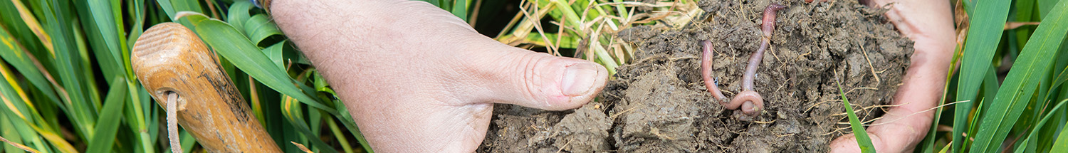
Ground truthing
Obtaining a soil sample from a high and low millisiemens area will provide an exact soil type that provides an accurate indication of soil type across the field. In the example within the electronic data above, the lightest areas of the field are sandy clay loam and the darkest are clay loam. This data can be used to compare fields across the farm rather than just variation within the field (additional cost).
EM management zones decided:
These zones are created using some or all the following - soil type contour, raw variation data and elevation data.
This service is compatible with the Agrovista Insight portal.